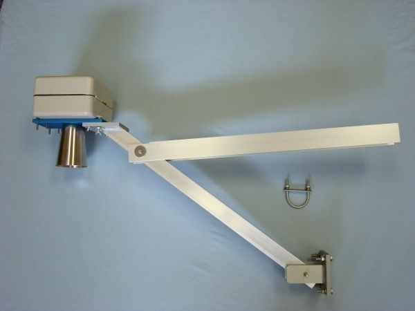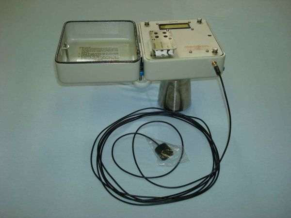
The GPS U-Grade Survey Monitor (UGSM) is used to “map” the uranium-ore grade of surface uranium-ore deposits. The UGSM, coupled with a GPS, is attached to a 4WD vehicle that drives over the surface of the flat ore body. The measured uranium-ore grade is logged into the microcontroller along with co-ordinates. The data log is downloaded into a MS Windows Hyperterminal and exported to geophysical contouring software, used to draw contours of ore grades.
How it works
The UGSM is a gamma-radiation survey monitor that measures the external gamma count rate (c/s) using a 1″ × 1″ NaI(Tl) scintillation crystal housed in lead collimated shielding attached to a metal arm in front of a 4WD vehicle. The UGSM measures the gamma radiation emitted from an approximately 2 m wide and 0.25 m deep soil or ore-body disc. The gamma pulse rate is multiplied by the calibration constant (P) to convert the pulse rate to the uranium-ore grade (ppm U₃O₈). When an external GPS antenna is connected, the reading number, the coordinates of reading positions, the count rate, and the ore grade are logged into the internal memory. The distance in metres between subsequent monitoring/logging positions is programmed when the UGSM is in programming mode.
Logged data can be downloaded into a MS Windows Hyperterminal as a text file that can be opened in MS Excel.
Gallery